No products in the cart.
Travel Maps
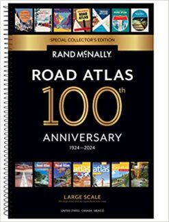
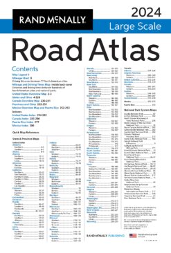
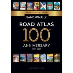
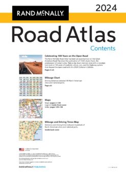
2024 Road Atlas Large Scale, 100th Anniversary edition
2024 Rand McNally 100th Anniverary Road Atlas
Username or email address *
Password *
Remember me Log in
Lost your password?