Geologic and Topographic maps give the viewer a sense of the “lay of the land”.
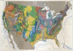
Geologic maps (often the most colorful) depict what lies beneath the earth’s surface.
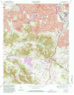
Topographic maps employ contour lines to depict elevations. Many of the maps we sell of this kind come directly from our business partnership with the US Geological Survey (USGS), the sole science agency for the Department of the Interior.