Principal Cities Maps
$16.50 – $143.95
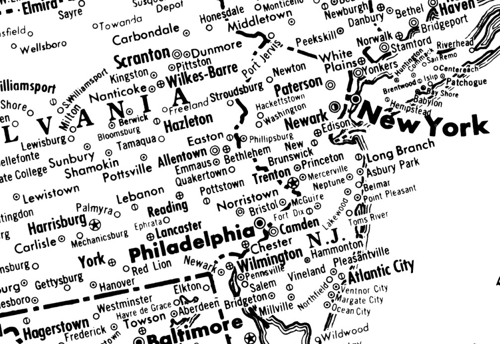
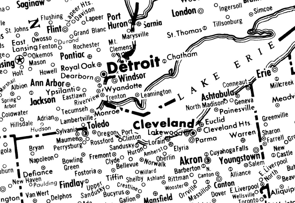
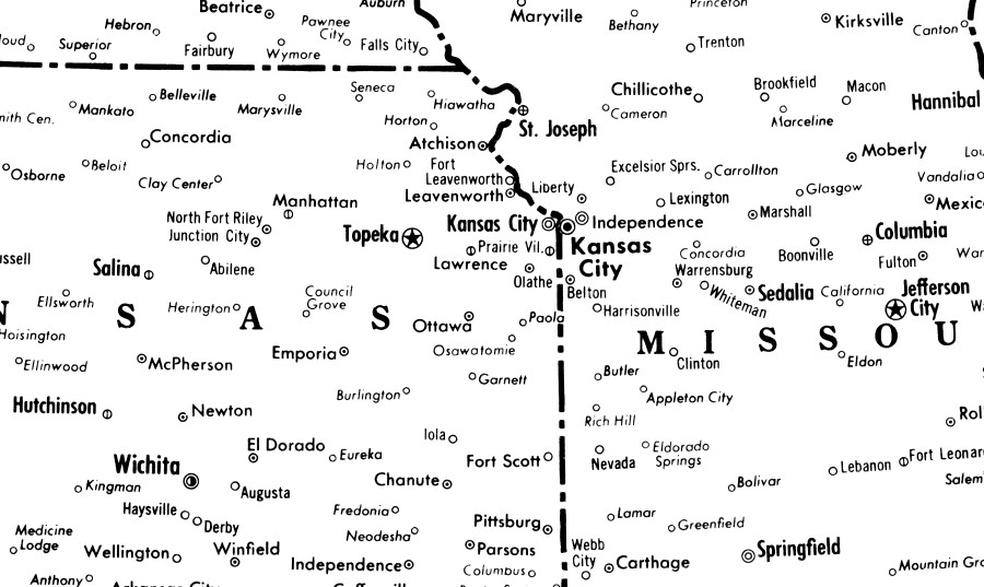
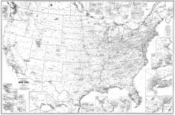
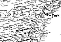
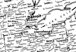
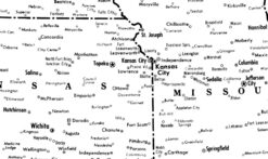
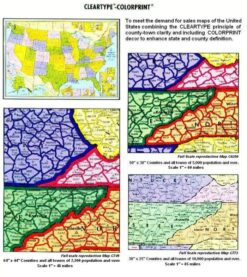
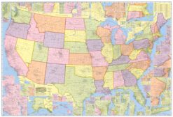
The United States Principal Cities map clearly displays, in black & white, state borders and principal city/town names. Very useful for defining territories and other Sales Map needs. Paper, laminated or laminated with mounting strips options. Various sizes. See full description below.
These maps display the entire United States with only principal cities and state boundaries displayed. No highways or roads clutter your view. As such, these maps are very effective in meeting the demand for sales maps. Users can easily see state lines and city names with great clarity making it easy to define sales territories. This is made even MORE useful when combined with lamination allowing the user to make changes to defined territories.
OPTIONS
Our Principal Cities maps are available in black & white (B&W) only. They may be ordered with or without lamination. If lamination is chosen, hanging strips may also be included to add stability and attractiveness to your map. Black strips are mounted to both the top and the bottom of the map and grommets are included for ease of hanging on your wall.
SHIPPING
Item ships rolled in a tube. Shipping/Handling costs are based upon size ordered as seen below:
|
|
64″ x 44″ * |
50″ x 38″ |
38″ x 25″ |
|
Scale |
1″ = 50 miles |
1″ = 60 miles |
1″ = 85 miles |
|
Paper |
$27.00 |
$36.00 |
$16.50 |
|
Laminated |
$123.25 |
$77.50 |
$38.25 |
|
Laminated w/Strips |
$143.95 |
$97.50 |
$55.50 |
|
Shipping/Handling |
$24.95 |
$19.95 |
$10.00 |
* The 64″ x 44″ map is produced by USGS; Other sizes published by CLEARTYPE.
All maps priced above display the entirety of the United States. However, in our archives we have many variations available by region of the country and also by each state separately. Please contact us directly (615-344-2288; mapsas@mapagents.com) with your specifications if your territory is less than the entire U.S. We are happy to work with you to provide a custom map defined by your north, south, east and west boundaries.
| Publisher | CLEARTYPE (no longer in business), USGS |
|---|---|
| Map Size | 38" x 25", 50" x 38", 64" x 44" |
| Mounting Options (CT) | Laminated, Laminated with Mounting Strips, Paper |
Be the first to review “Principal Cities Maps” Cancel reply
Related products
Business Reference



Reviews
There are no reviews yet.